پرونده:Detailed map of Wakefield-Peacedale, Rhode Island.png
تفکیکپذیری بالاتری در دسترس نیست.
Detailed_map_of_Wakefield-Peacedale,_Rhode_Island.png (۵۷۵ × ۴۲۵ پیکسل، اندازهٔ پرونده: ۵۱ کیلوبایت، نوع MIME پرونده: image/png)
این پرونده در ویکیانبار موجود است. محتویات صفحهٔ توصیف آن در زیر نمایش داده میشود. |
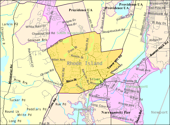
| توضیح | Map of Wakefield-Peacedale, a census-designated place in the town of South Kingstown in Washington County, Rhode Island, United States, with its boundaries at the time of the 2000 census. | |||
| تاریخ | تاریخ نامعلوم; downloaded by me on 29 December 2008 | |||
| منبع | http://factfinder.census.gov/leg1/44/123071444.gif, from http://factfinder.census.gov | |||
| پدیدآور | United States Census Bureau | |||
| اجازهنامه (استفادهٔ مجدد از این پرونده) |
|

تاریخچهٔ پرونده
روی تاریخ/زمانها کلیک کنید تا نسخهٔ مربوط به آن هنگام را ببینید.
| تاریخ/زمان | بندانگشتی | ابعاد | کاربر | توضیح | |
|---|---|---|---|---|---|
| کنونی | ۲۹ دسامبر ۲۰۰۸، ساعت ۱۴:۴۶ | | ۵۷۵ در ۴۲۵ (۵۱ کیلوبایت) | Nyttend | {{Information |Description=Map of {{w|Wakefield-Peacedale, Rhode Island|Wakefield-Peacedale}}, a {{w|census-designated place}} in the town of {{w|South Kingstown, Rhode Island|South Kingstown}} in {{w|Washington County, Rhode Island|Washington County}}, { |
کاربرد پرونده
صفحهٔ زیر از این تصویر استفاده میکند:
کاربرد سراسری پرونده
ویکیهای دیگر زیر از این پرونده استفاده میکنند:
- کاربرد در ca.wikipedia.org
- کاربرد در ceb.wikipedia.org
- کاربرد در en.wikipedia.org
- کاربرد در es.wikipedia.org
- کاربرد در eu.wikipedia.org
- کاربرد در sh.wikipedia.org
- کاربرد در sr.wikipedia.org
- کاربرد در tt.wikipedia.org
- کاربرد در www.wikidata.org