پرونده:Map of Vientiane Province, Laos.jpg

پروندهٔ اصلی (۱٬۳۴۷ × ۱٬۱۴۵ پیکسل، اندازهٔ پرونده: ۹۷۳ کیلوبایت، نوع MIME پرونده: image/jpeg)
این پرونده در ویکیانبار موجود است. محتویات صفحهٔ توصیف آن در زیر نمایش داده میشود. |
خلاصه
| توضیح |
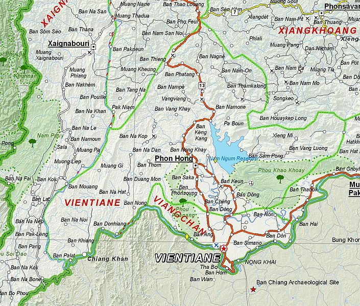
English: Map of Vientiane Province, Laos. |
| تاریخ | |
| منبع | Based on File:UNOSAT Laos Base Map.jpg |
| پدیدآور | UNOSAT, United Nations, modified by Dr. Blofeld |
| اجازهنامه (استفادهٔ مجدد از این پرونده) |
The original file is marked with the UN symbol which means that it is a public domain resource. |
اجازهنامه
| This image is a map derived from a United Nations map.
Unless stated otherwise, UN maps are to be considered in the public domain. This applies worldwide. UN maps are, in principle, open source material and you can use them in your work or for making your own map. UN requests however that you delete the UN name, logo and reference number upon any modification to the map. Content of your map will be your responsibility. You can state in your publication, if you wish, something like: based on UN map … (map name, map number, revision number and date). See: Geospatial Information Section. And: Geospatial, location data for a better world. |
 |
تاریخچهٔ پرونده
روی تاریخ/زمانها کلیک کنید تا نسخهٔ مربوط به آن هنگام را ببینید.
| تاریخ/زمان | بندانگشتی | ابعاد | کاربر | توضیح | |
|---|---|---|---|---|---|
| کنونی | ۶ دسامبر ۲۰۱۲، ساعت ۲۱:۰۹ | | ۱٬۳۴۷ در ۱٬۱۴۵ (۹۷۳ کیلوبایت) | Blofeld Dr. | {{Information |Description ={{en|1=d}} |Source =d |Author =d |Date =d |Permission = |other_versions = }} d |
کاربرد پرونده
صفحهٔ زیر از این تصویر استفاده میکند:
کاربرد سراسری پرونده
ویکیهای دیگر زیر از این پرونده استفاده میکنند:
- کاربرد در en.wikipedia.org
- کاربرد در fr.wikipedia.org
- کاربرد در hr.wikipedia.org
- کاربرد در id.wikipedia.org
- کاربرد در mn.wikipedia.org
- کاربرد در th.wikipedia.org
- کاربرد در ur.wikipedia.org
- کاربرد در vi.wikipedia.org