کاورا
کاورا (به انگلیسی: Cowra) یک شهرک در استرالیا است که در Cowra Shire واقع شدهاست.[۱]
| کاورا نیو ساوت ولز | |||||||||
|---|---|---|---|---|---|---|---|---|---|
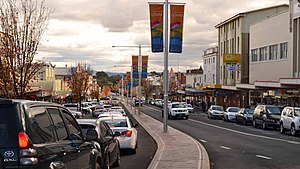
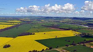
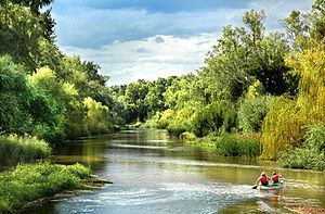
From top to bottom, left to right: Kendal Street divides the CBD, the Eastern entrance to the town, the Japanese War Cemetery, Crops of canola create 'fields of gold', decorated in Aboriginal art, the pylons of the Cowra Bridge, Australia's World Peace Bell and the Lachlan River which flows through the heart of the town | |||||||||
| جمعیت | ۱۰٬۰۶۳ (سرشماری 2016) | ||||||||
| بنیانگذاری | ۱۸۴۶ | ||||||||
| Gazetted | ۱۸۴۹ | ||||||||
| کدپستی | ۲۷۹۴ | ||||||||
| ارتفاع | ۳۱۰ متر (۱٬۰۱۷ فوت) | ||||||||
| ناحیه زمانی | زمان در استرالیا (یوتیسی +۱۰) | ||||||||
| • تابستان (DST) | AEDT (یوتیسی +۱۱) | ||||||||
| موقعیت |
| ||||||||
| مناطق دولت محلی | Cowra Shire | ||||||||
| شهرستان | Forbes, Bathurst | ||||||||
| حوزه انتخاباتی ایالتی | Cootamundra | ||||||||
| Federal Division(s) | Riverina | ||||||||
| |||||||||
جستارهای وابسته
ویرایشمنابع
ویرایش- ↑ مشارکتکنندگان ویکیپدیا. «Cowra». در دانشنامهٔ ویکیپدیای انگلیسی.
پیوند به بیرون
ویرایشدر ویکیانبار پروندههایی دربارهٔ کاورا موجود است.
