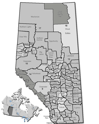
الگو:Location map Alberta municipal districts
| نام | آلبرتا | ||
|---|---|---|---|
| x | (47.8062 + 6.31607*({{{3}}}+115) + 0.033133*({{{2}}}-55) -0.163349*({{{2}}}-55)*({{{3}}}+115) + 0.0101163*({{{3}}}+115)*({{{3}}}+115) -0.00888419*({{{2}}}-55)*({{{2}}}-55)) | ||
| y | (45.9081 -0.0512779*({{{3}}}+115) -8.84793*({{{2}}}-55) + 0.0102564*({{{2}}}-55)*({{{3}}}+115) -0.0167721*({{{3}}}+115)*({{{3}}}+115) + 0.0226062*({{{2}}}-55)*({{{2}}}-55)) | ||
| تصویر | Alberta municipal districts.png
| ||

| |||
