پرونده:Ealing London UK location map.svg

حجم پیشنمایش PNG این SVG file:۸۰۰ × ۵۵۴ پیکسل کیفیتهای دیگر: ۳۲۰ × ۲۲۱ پیکسل | ۶۴۰ × ۴۴۳ پیکسل | ۱٬۰۲۴ × ۷۰۹ پیکسل | ۱٬۲۸۰ × ۸۸۶ پیکسل | ۲٬۵۶۰ × ۱٬۷۷۱ پیکسل | ۱٬۴۲۵ × ۹۸۶ پیکسل.
پروندهٔ اصلی (پروندهٔ اسویجی، با ابعاد ۱٬۴۲۵ × ۹۸۶ پیکسل، اندازهٔ پرونده: ۳٫۸۸ مگابایت)
این پرونده در ویکیانبار موجود است. محتویات صفحهٔ توصیف آن در زیر نمایش داده میشود. |
| توضیح |
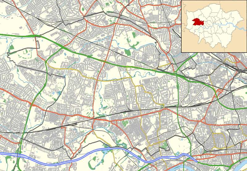
Location map of the London Borough of Ealing with the following information shown:
Equirectangular map projection on WGS 84 datum, with N/S stretched 160% Geographic limits:
|
| تاریخ | |
| منبع |
|
| پدیدآور | Nilfanion |
| اجازهنامه (استفادهٔ مجدد از این پرونده) |
این پرونده با اجازهنامهٔ کریتیو کامانز Attribution-Share Alike 3.0 سازگار نشده منتشر شده است. انتساب: Contains Ordnance Survey data © Crown copyright and database right
|
تاریخچهٔ پرونده
روی تاریخ/زمانها کلیک کنید تا نسخهٔ مربوط به آن هنگام را ببینید.
| تاریخ/زمان | بندانگشتی | ابعاد | کاربر | توضیح | |
|---|---|---|---|---|---|
| کنونی | ۱۵ نوامبر ۲۰۱۱، ساعت ۲۳:۰۱ | | ۱٬۴۲۵ در ۹۸۶ (۳٫۸۸ مگابایت) | Nilfanion | {{Information |Description=Location map of the London Borough of Ealing with the following information shown: *{{legend|#646464|Ward boundaries}} *{{legend|#667fff|Motorways}} *{{legend|#4cb336|Primary routes}} *{{legend|#fc |
کاربرد پرونده
صفحههای زیر از این تصویر استفاده میکنند:
کاربرد سراسری پرونده
ویکیهای دیگر زیر از این پرونده استفاده میکنند:
- کاربرد در ar.wikipedia.org
- کاربرد در ceb.wikipedia.org
- کاربرد در en.wikipedia.org
- Pitzhanger Manor
- The Drayton Court
- Ealing Abbey
- Ealing Hospital
- St Bernard's Hospital, Hanwell
- Module:Location map/data/United Kingdom London Ealing/doc
- St Anselm's Church, Southall
- Three Horseshoes, Southall
- The Fox Inn, Hanwell
- Duke of Kent, Ealing
- The Forester, Ealing
- Kings Arms, Hanwell
- Three Bridges, London
- Half-Way House, West Ealing
- Module:Location map/data/United Kingdom London Ealing
- Ealing Town Hall
- Southall Town Hall
- Acton Town Hall
- Warren Farm, Southall
- کاربرد در fr.wikipedia.org
- کاربرد در kn.wikipedia.org
- کاربرد در si.wikipedia.org
- کاربرد در tr.wikipedia.org
- کاربرد در war.wikipedia.org