پرونده:East Renfrewshire UK location map.svg

حجم پیشنمایش PNG این SVG file:۶۳۴ × ۶۰۰ پیکسل کیفیتهای دیگر: ۲۵۴ × ۲۴۰ پیکسل | ۵۰۷ × ۴۸۰ پیکسل | ۸۱۲ × ۷۶۸ پیکسل | ۱٬۰۸۳ × ۱٬۰۲۴ پیکسل | ۲٬۱۶۵ × ۲٬۰۴۸ پیکسل | ۱٬۴۲۵ × ۱٬۳۴۸ پیکسل.
پروندهٔ اصلی (پروندهٔ اسویجی، با ابعاد ۱٬۴۲۵ × ۱٬۳۴۸ پیکسل، اندازهٔ پرونده: ۸۲۵ کیلوبایت)
این پرونده در ویکیانبار موجود است. محتویات صفحهٔ توصیف آن در زیر نمایش داده میشود. |
| توضیح |
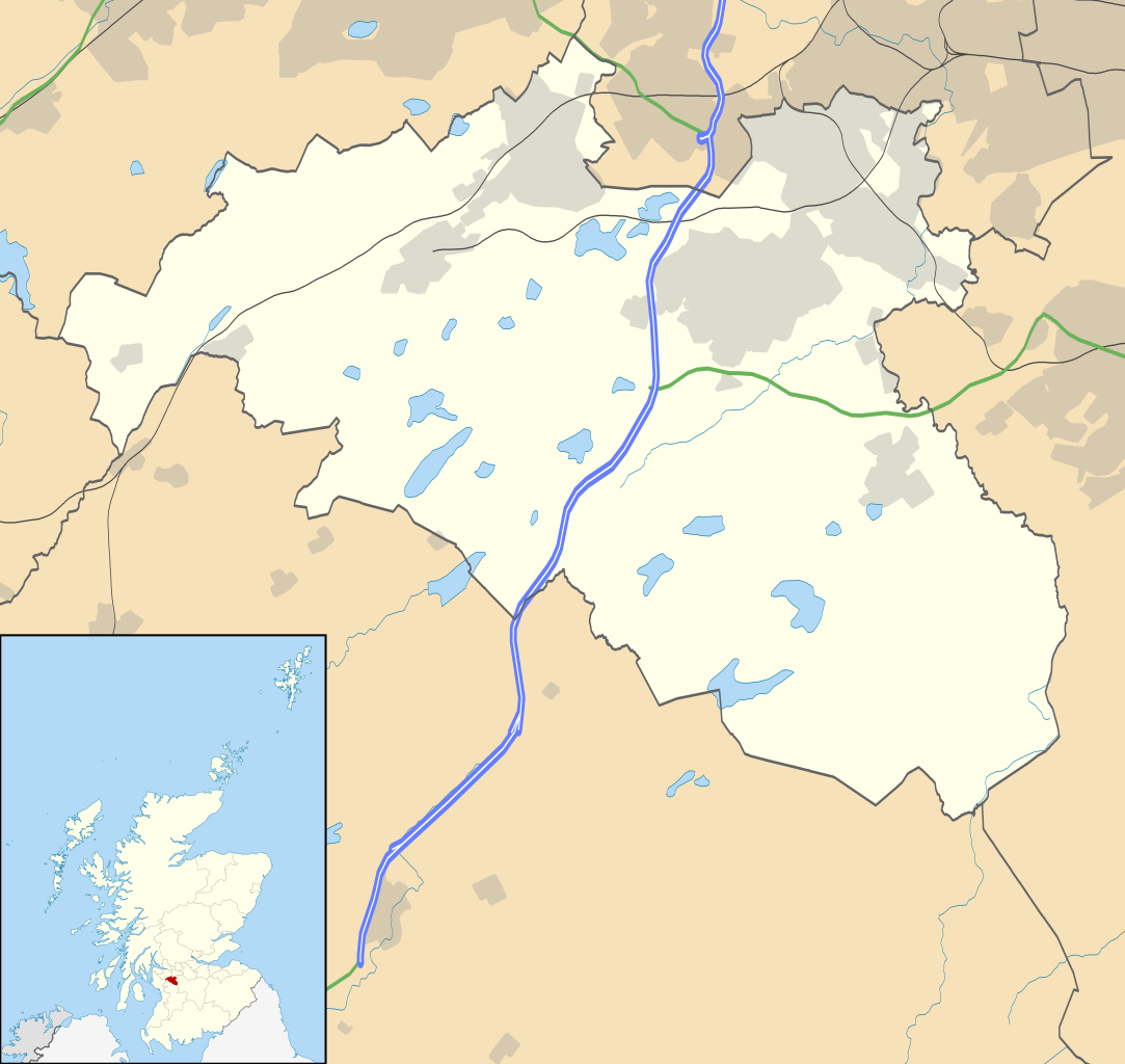
Blank map of East Renfrewshire, UK with the following information shown:
Equirectangular map projection on WGS 84 datum, with N/S stretched 175% Geographic limits:
|
| تاریخ | |
| منبع |
|
| پدیدآور | Nilfanion, created using Ordnance Survey data |
| اجازهنامه (استفادهٔ مجدد از این پرونده) |
این پرونده با اجازهنامهٔ کریتیو کامانز Attribution-Share Alike 3.0 سازگار نشده منتشر شده است. انتساب: Contains Ordnance Survey data © Crown copyright and database right
|
| دیگر نسخهها | File:East Renfrewshire UK blank map.svg - Blank map |
تاریخچهٔ پرونده
روی تاریخ/زمانها کلیک کنید تا نسخهٔ مربوط به آن هنگام را ببینید.
| تاریخ/زمان | بندانگشتی | ابعاد | کاربر | توضیح | |
|---|---|---|---|---|---|
| کنونی | ۲۶ سپتامبر ۲۰۱۰، ساعت ۲۰:۱۳ | | ۱٬۴۲۵ در ۱٬۳۴۸ (۸۲۵ کیلوبایت) | Nilfanion | {{Information |Description=Blank map of East Renfrewshire, UK with the following information shown: *Administrative borders *Coastline, lakes and rivers *Roads and railways *Urban areas Equirectangular map projection on WGS 84 dat |
کاربرد پرونده
صفحههای زیر از این تصویر استفاده میکنند:
کاربرد سراسری پرونده
ویکیهای دیگر زیر از این پرونده استفاده میکنند:
- کاربرد در ar.wikipedia.org
- کاربرد در bg.wikipedia.org
- کاربرد در ceb.wikipedia.org
- کاربرد در de.wikipedia.org
- کاربرد در en.wikipedia.org
- East Renfrewshire
- Barrhead
- Newton Mearns
- Giffnock
- Netherlee
- Uplawmoor
- Eaglesham
- Thornliebank
- Muirend
- Stamperland
- Neilston
- Patterton railway station
- Busby, East Renfrewshire
- Waterfoot, East Renfrewshire
- Thorntonhall
- Deaconsbank
- Greenbank Garden
- Module:Location map/data/Scotland East Renfrewshire/doc
- Clarkston explosion
- Clarkston, East Renfrewshire
- Shillford
- Dunterlie Park (1882–1906)
- Dunterlie Park (1906–1919)
- Dunterlie Park
- Module:Location map/data/Scotland East Renfrewshire
- Millhall
- Netherplace
- Barrhead Burgh Hall
- کاربرد در eo.wikipedia.org
- کاربرد در es.wikipedia.org
- کاربرد در fr.wikipedia.org
نمایش استفادههای سراسری از این پرونده.