پرونده:Enfield London UK location map.svg

حجم پیشنمایش PNG این SVG file:۷۵۰ × ۶۰۰ پیکسل کیفیتهای دیگر: ۳۰۰ × ۲۴۰ پیکسل | ۶۰۰ × ۴۸۰ پیکسل | ۹۶۰ × ۷۶۸ پیکسل | ۱٬۲۸۰ × ۱٬۰۲۴ پیکسل | ۲٬۵۶۰ × ۲٬۰۴۸ پیکسل | ۱٬۴۲۵ × ۱٬۱۴۰ پیکسل.
پروندهٔ اصلی (پروندهٔ اسویجی، با ابعاد ۱٬۴۲۵ × ۱٬۱۴۰ پیکسل، اندازهٔ پرونده: ۴٫۱۸ مگابایت)
این پرونده در ویکیانبار موجود است. محتویات صفحهٔ توصیف آن در زیر نمایش داده میشود. |
| توضیح |
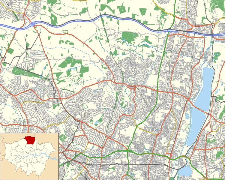
Location map of the London Borough of Enfield with the following information shown:
Equirectangular map projection on WGS 84 datum, with N/S stretched 160% Geographic limits:
|
| تاریخ | |
| منبع |
|
| پدیدآور | Nilfanion |
| اجازهنامه (استفادهٔ مجدد از این پرونده) |
این پرونده با اجازهنامهٔ کریتیو کامانز Attribution-Share Alike 3.0 سازگار نشده منتشر شده است. انتساب: Contains Ordnance Survey data © Crown copyright and database right
|
تاریخچهٔ پرونده
روی تاریخ/زمانها کلیک کنید تا نسخهٔ مربوط به آن هنگام را ببینید.
| تاریخ/زمان | بندانگشتی | ابعاد | کاربر | توضیح | |
|---|---|---|---|---|---|
| کنونی | ۱۵ نوامبر ۲۰۱۱، ساعت ۲۳:۰۲ | | ۱٬۴۲۵ در ۱٬۱۴۰ (۴٫۱۸ مگابایت) | Nilfanion | {{Information |Description=Location map of the London Borough of Enfield with the following information shown: *{{legend|#646464|Ward boundaries}} *{{legend|#667fff|Motorways}} *{{legend|#4cb336|Primary routes}} *{{legend|# |
کاربرد پرونده
صفحههای زیر از این تصویر استفاده میکنند:
کاربرد سراسری پرونده
ویکیهای دیگر زیر از این پرونده استفاده میکنند:
- کاربرد در ar.wikipedia.org
- کاربرد در ceb.wikipedia.org
- کاربرد در en.wikipedia.org
- Chase Farm Hospital
- William Girling Reservoir
- King George V Reservoir
- Highlands Hospital
- Forty Hall
- Greentrees Hospital
- Module:Location map/data/United Kingdom London Enfield/doc
- User:Beamjockey/sandbox
- The Fox, Palmers Green
- Fallow Buck Inn
- The Rose and Crown, Clay Hill
- Bell Inn, Enfield
- The White Horse, Enfield
- The Crown and Horseshoes
- Module:Location map/data/United Kingdom London Enfield
- Southgate Town Hall
- Enfield Civic Centre
- کاربرد در fr.wikipedia.org
- کاربرد در kn.wikipedia.org
- کاربرد در si.wikipedia.org
- کاربرد در tr.wikipedia.org
- کاربرد در war.wikipedia.org