پرونده:Rutland UK location map.svg

حجم پیشنمایش PNG این SVG file:۷۵۰ × ۶۰۰ پیکسل کیفیتهای دیگر: ۳۰۰ × ۲۴۰ پیکسل | ۶۰۰ × ۴۸۰ پیکسل | ۹۶۰ × ۷۶۸ پیکسل | ۱٬۲۸۰ × ۱٬۰۲۴ پیکسل | ۲٬۵۶۰ × ۲٬۰۴۸ پیکسل | ۱٬۴۲۵ × ۱٬۱۴۰ پیکسل.
پروندهٔ اصلی (پروندهٔ اسویجی، با ابعاد ۱٬۴۲۵ × ۱٬۱۴۰ پیکسل، اندازهٔ پرونده: ۸۵۶ کیلوبایت)
این پرونده در ویکیانبار موجود است. محتویات صفحهٔ توصیف آن در زیر نمایش داده میشود. |
| توضیح |
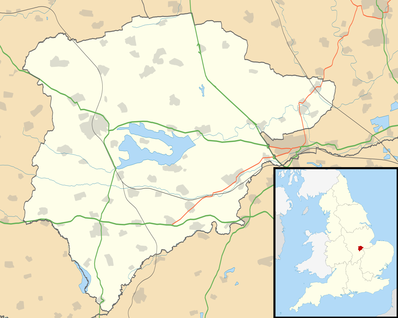
Map of Rutland, UK with the following information shown:
Equirectangular map projection on WGS 84 datum, with N/S stretched 160% Geographic limits:
|
| تاریخ | |
| منبع |
|
| پدیدآور | Nilfanion, created using Ordnance Survey data |
| اجازهنامه (استفادهٔ مجدد از این پرونده) |
این پرونده با اجازهنامهٔ کریتیو کامانز Attribution-Share Alike 3.0 سازگار نشده منتشر شده است. انتساب: Contains Ordnance Survey data © Crown copyright and database right
|
| دیگر نسخهها | File:Rutland UK district map (blank).svg - Blank map |
.svg)
تاریخچهٔ پرونده
روی تاریخ/زمانها کلیک کنید تا نسخهٔ مربوط به آن هنگام را ببینید.
| تاریخ/زمان | بندانگشتی | ابعاد | کاربر | توضیح | |
|---|---|---|---|---|---|
| کنونی | ۲۶ سپتامبر ۲۰۱۰، ساعت ۱۹:۱۰ | | ۱٬۴۲۵ در ۱٬۱۴۰ (۸۵۶ کیلوبایت) | Nilfanion | {{Information |Description=Map of Rutland, UK with the following information shown: *Administrative borders *Coastline, lakes and rivers *Roads and railways *Urban areas Equirectangular map projection on WGS 84 datum, with N/S stretched 160 |
کاربرد پرونده
صفحههای زیر از این تصویر استفاده میکنند:
کاربرد سراسری پرونده
ویکیهای دیگر زیر از این پرونده استفاده میکنند:
- کاربرد در af.wikipedia.org
- کاربرد در ar.wikipedia.org
- کاربرد در bg.wikipedia.org
- کاربرد در ceb.wikipedia.org
- کاربرد در en.wikipedia.org
- Oakham
- Uppingham
- RAF Cottesmore
- Wing, Rutland
- Stretton, Rutland
- Langham, Rutland
- Pickworth, Rutland
- Great Casterton
- Ryhall
- Little Casterton
- Tixover
- North Luffenham
- RAF North Luffenham
- Whitwell, Rutland
- Braunston-in-Rutland
- Whissendine
- Ashwell, Rutland
- Ayston
- Barleythorpe
- Barrow, Rutland
- Barrowden
- Belton-in-Rutland
- Bisbrooke
- Brooke, Rutland
- Burley, Rutland
- Caldecott, Rutland
- Clipsham
- Cottesmore, Rutland
- Edith Weston
- Egleton
- Empingham
- Essendine
- Exton, Rutland
- Glaston
- Greetham, Rutland
- Gunthorpe, Rutland
- Hambleton, Rutland
- Ketton
- Lyddington
- Lyndon, Rutland
- Manton, Rutland
- Market Overton
- Morcott
- Normanton, Rutland
- Pilton, Rutland
نمایش استفادههای سراسری از این پرونده.