پرونده:Toledo MSA with Fremont micro in NW Ohio.png

تفکیکپذیری بالاتری در دسترس نیست.
Toledo_MSA_with_Fremont_micro_in_NW_Ohio.png (۶۸۸ × ۴۰۴ پیکسل، اندازهٔ پرونده: ۵۸ کیلوبایت، نوع MIME پرونده: image/png)
این پرونده در ویکیانبار موجود است. محتویات صفحهٔ توصیف آن در زیر نمایش داده میشود. |
خلاصه
| توضیح |
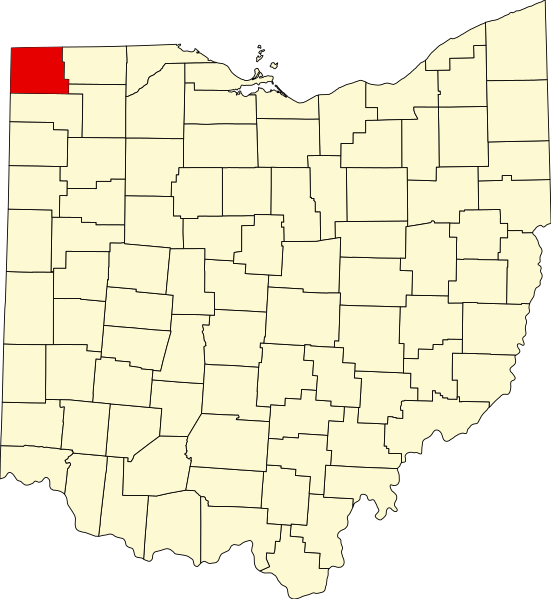
English: The counties in dark green are within the Toledo MSA, whereas the county in light green is the Fremont Micropolitan area and is only included in the Toledo-Fremont, OH CSA. All counties in white are generally considered to be Northwest Ohio. |
| منبع | https://upload.wikimedia.org/wikipedia/commons/thumb/c/c1/Map_of_Ohio_highlighting_Williams_County.svg/551px-Map_of_Ohio_highlighting_Williams_County.svg.png |
| پدیدآور | David Benbennick |
- Other information
English: I used Ben's original map as a base for my map, and then changed the colors and added labels.
This file is in the public domain because It was used for Wikipedia and the author stated it was in the Public domain
|
تاریخچهٔ پرونده
روی تاریخ/زمانها کلیک کنید تا نسخهٔ مربوط به آن هنگام را ببینید.
| تاریخ/زمان | بندانگشتی | ابعاد | کاربر | توضیح | |
|---|---|---|---|---|---|
| کنونی | ۱۸ ژوئیهٔ ۲۰۱۶، ساعت ۱۴:۴۸ | | ۶۸۸ در ۴۰۴ (۵۸ کیلوبایت) | Tma169 | {{subst:Upload marker added by en.wp UW}} {{Information |Description = {{en|The counties in dark green are within the Toledo MSA, whereas the county in light green is the Fremont Micropolitan area and is only included in the Toledo-Fremont, OH CSA. All... |
کاربرد پرونده
صفحهٔ زیر از این تصویر استفاده میکند:
کاربرد سراسری پرونده
ویکیهای دیگر زیر از این پرونده استفاده میکنند:
- کاربرد در es.wikipedia.org
- کاربرد در www.wikidata.org